AI drones hunt mosquitoes—but can they scale beyond demos?
AI drones hunt mosquitoes—but can they scale beyond demos?📷 Published: Apr 10, 2026 at 22:14 UTC
- ★Stanford’s AI-powered drone mapping
- ★Hidden breeding sites as disease accelerants
- ★Battery limits stall real-world deployment
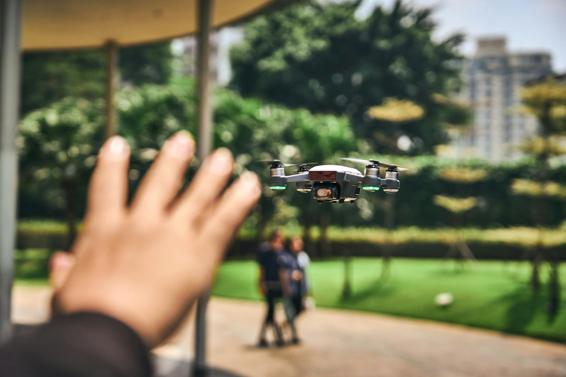
Stanford researchers have unveiled an AI-powered drone system that scans urban landscapes for hidden mosquito breeding sites, pinpointing shallow containers like discarded tires and flower pots where dengue-carrying Aedes aegypti mosquitoes thrive. The system, trained on thousands of aerial images, can detect standing water with 87% accuracy in controlled tests—enough to map a neighborhood in under 20 minutes Stanford study.
But here’s the catch: these demos happen in broad daylight, over flat terrain, with drones fully charged. In the real world, tropical downpours, dense foliage, and uneven urban sprawl turn that 87% into a coin flip. The team admits the AI struggles with reflective surfaces, like metal roofs or puddles, which mimic standing water. Even worse, the current payload—a high-resolution multispectral camera—drains the drone’s battery in under 18 minutes, capping missions before they cover a single city block.
The real bottleneck isn’t the AI. It’s the hardware. The DJI Matrice 300 RTK platform used in testing costs $12,000, and the custom sensors add another $3,500. For cash-strapped municipalities already struggling with dengue outbreaks, that’s a non-starter. And while the Stanford team touts the system’s potential for ‘scalable urban surveillance,’ no pilot program has yet run longer than two weeks—or outside California’s temperate climate.

Demo finished. Reality starts now: the hardware limits keeping drone mosquito hunters grounded📷 Published: Apr 10, 2026 at 22:14 UTC
Demo finished. Reality starts now: the hardware limits keeping drone mosquito hunters grounded
So where does this actually work? The answer: niche, high-value zones like military bases, luxury resorts, or corporate campuses with deep pockets for mosquito control. These are spaces where drone patrols already exist for security, and adding a disease-mapping layer is a marginal upgrade. For everyone else, the system remains a research project—one that’s far from ready for monsoon seasons or unstructured environments like Brazilian favelas or Southeast Asian rice paddies.
Safety regulations add another layer of friction. In the U.S., FAA rules require visual observers for drones flying beyond line of sight, a non-negotiable mandate for urban mapping. In dengue-prone countries, drone laws are often nonexistent or inconsistently enforced, creating a wild west for deployment. Stanford’s team has partnered with local health agencies in Brazil and Thailand, but none have committed to long-term contracts. The closest real-world use case is Singapore’s NEA, which already uses drones for mosquito surveillance—but only in controlled industrial zones, not residential areas.
The real signal here isn’t the AI’s accuracy. It’s the stark divide between what’s demonstrated in a lab and what’s deployable in a slum. For all the hype about ‘AI fighting global health crises,’ the hardware limits—battery life, payload constraints, regulatory hurdles—are what truly define the product’s ceiling. Until those barriers fall, Stanford’s drones remain a brilliant demo, not a public health tool.